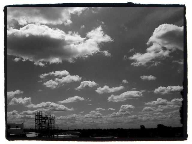
The title of this post is a nod to the informative and wonderful blog, LA Creek Freak. My discovery of this blog is fairly recently, if I only I had came across it sooner it might have saved me many hours of informal research. You see, for the past two years and a half I’ve been on a meandering quest to find the paths of old streams that once flowed through our urban areas.
When roaming through the city, I look for tell-tale signs: bridges, dips in the roads, large storm drains, stands of old trees, walls and houses made of river rock and street and neighborhood names with tell-tale monikers i.e. Brookside, Willowbrook, Arroyo Ave, River St, Evergreen, etc. Neighbors and long-time residents are also a great source of information. One of the more exciting clues are the actual streams themselves, they often pop up after heavy rains. The water remembers and will often follow it’s old course. It’s why some places in the city continually flood.
The search has been quite fun. Once I think I’ve found a spot, I’ll take photos, go home and check aerial views on Google maps. I’ll look at the way streets curve or sometimes I’ll notice a line of green trees marking the path of the old waterway. I often read through the Los Angeles Times archives and search for references to streams. For instance, I felt like the area around the Fourth Street Bridge and Lorena was a likely place for a stream and while doing research I found a notice by the city placed in the early 1900s, asking for contractors to bid on constructing a bridge over the “stream running at Fourth St.”


